From: The Rising Tide
Compiled by Dwight Collins
Boreal Forest Region: Alberta, Canada
Mighty rivers drain north
and east from the Rocky Mountains into the watershed of the Arctic Ocean.
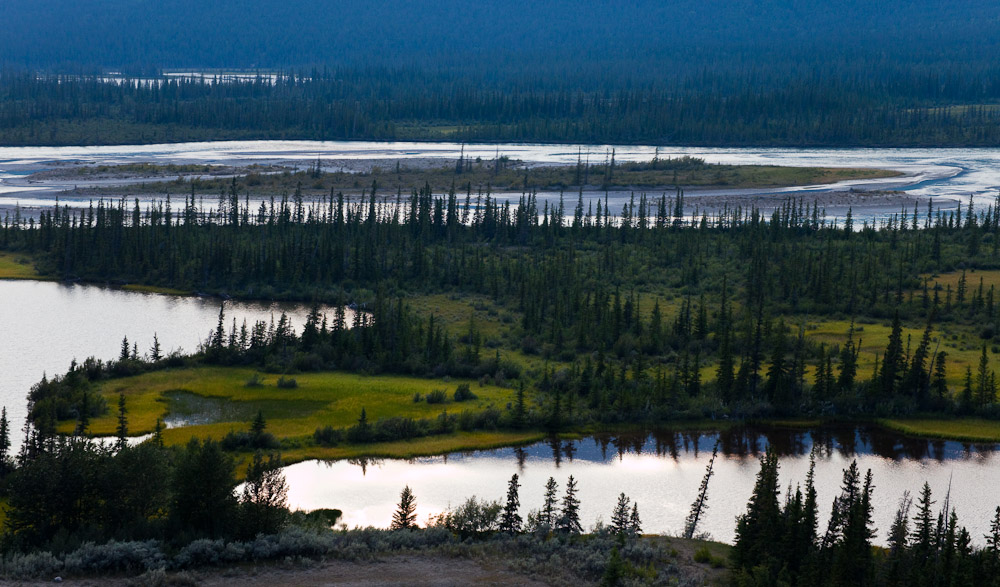
Look at any map of Alberta and you will see them: The Athabasca, Smoky, Peace, Chinchaga and Hay, tracing sinuous patterns across the vast northern half of the province, a lightly populated and little-known region of dark forests and muskegs.
This is the Boreal Forest Region which comprises 48 percent of Alberta.

The boreal forest is a critical ecosystem. The tar sands deposits lie in the boreal plains ecozone, which covers 183 million acres (74 million hectares) and extends across British Columbia, Northwest Territories, Alberta, Saskatchewan, and Manitoba. Forest cover is predominantly coniferous, and black spruce, white spruce, jack pine, and tamarack are principal species. Hardwoods, particularly trembling aspen, white birch, and balsam poplar, are well represented and are often mixed with conifers. This is one of the most productive forest areas not only in Canada, but in the entire world.
Approximately 35 percent of the boreal plains is composed of wetlands, including bogs, fens, swamps, marshes, and shallow open-water ponds. Some areas of the boreal plains have 85 to 95 percent wetland ground coverage, and these areas can stretch as wide as 120,000 acres (48,500 hectares). These extensive wetland and water areas combine with complex uplands to create a diverse mosaic of bird habitats. Most of these wetlands are connected through surface and groundwater hydrology and are highly susceptible to damage from tar sands development. MORE
No comments:
Post a Comment